The complete LiDAR data management and analysis platform
Reduce time from capture to insights with TileDB Cloud.
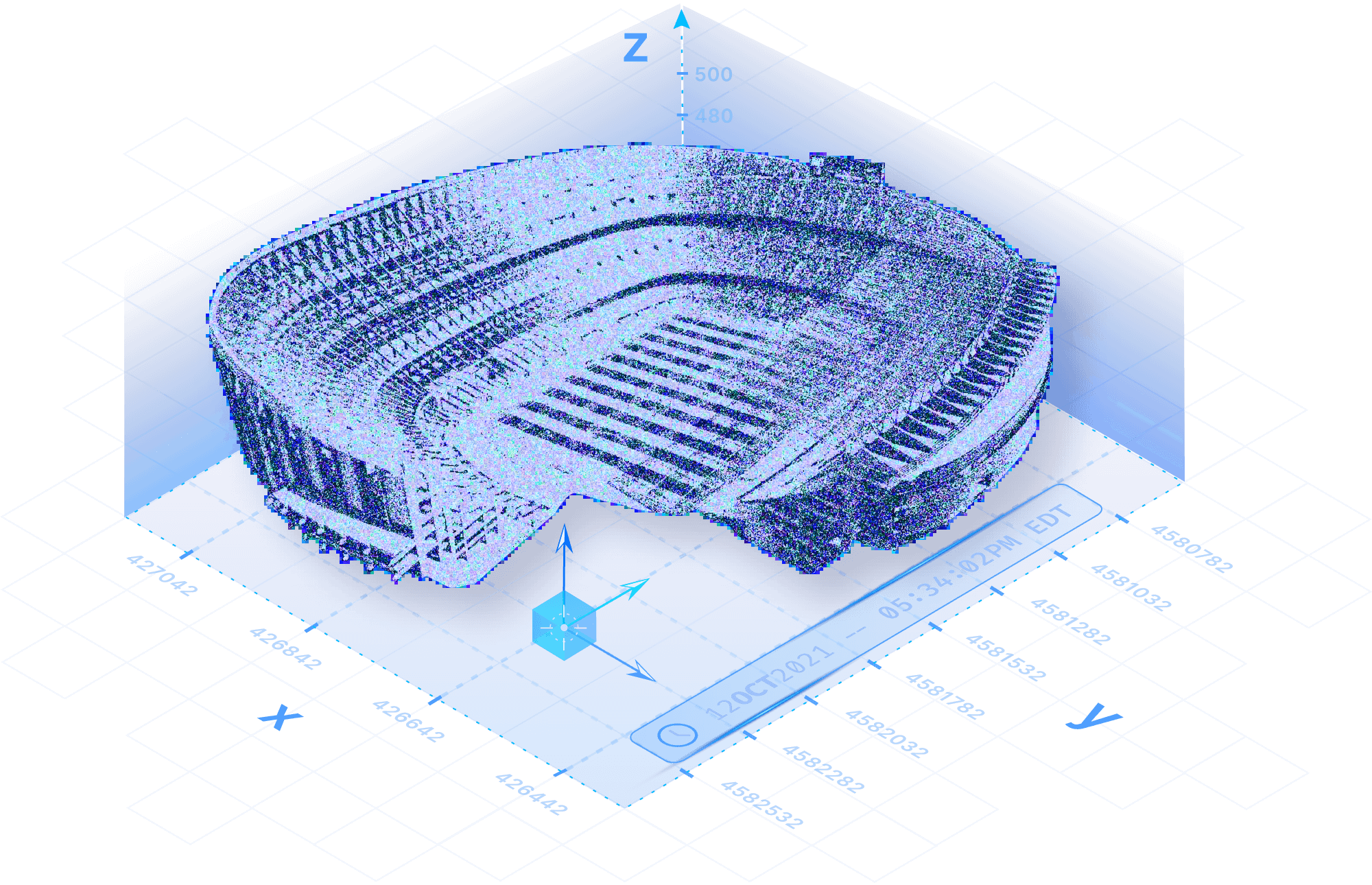
Point cloud analysis made simpler
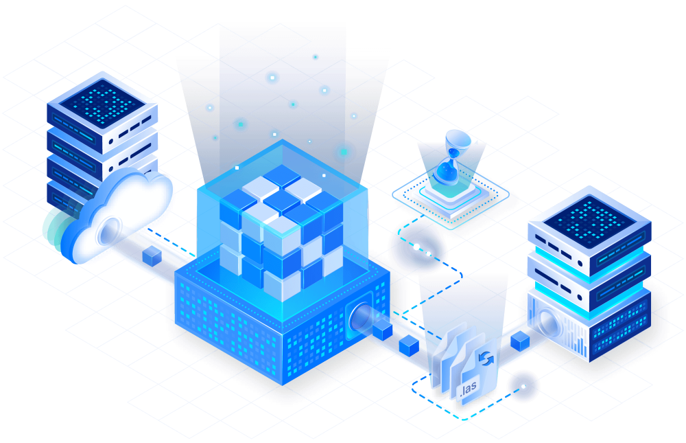
Ingest & manage
Easily ingest data in-parallel, while optimizing processing for high speed and low cost. Manage data and securely share it within, and outside of, your organization.
Analyze at scale
Run pipelines at scale, without complex infrastructure hassles. Use PDAL and parallelize operations like LiDAR point classification (e.g., SMRF) and more.
Visualize with ease
Explore LiDAR data interactively. Power web dashboards that can easily extend 3D visualizations with tools like Babylon.js. Run deeper analysis with a 3D tile server.
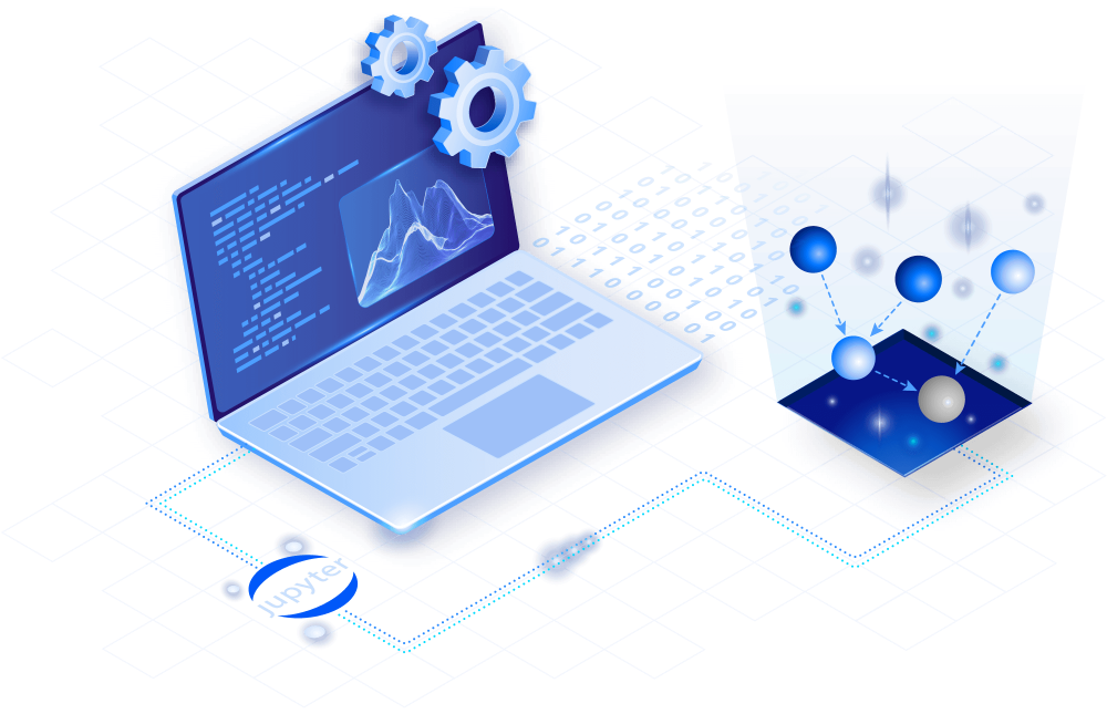
We reimagined your point cloud workflows with TileDB Cloud
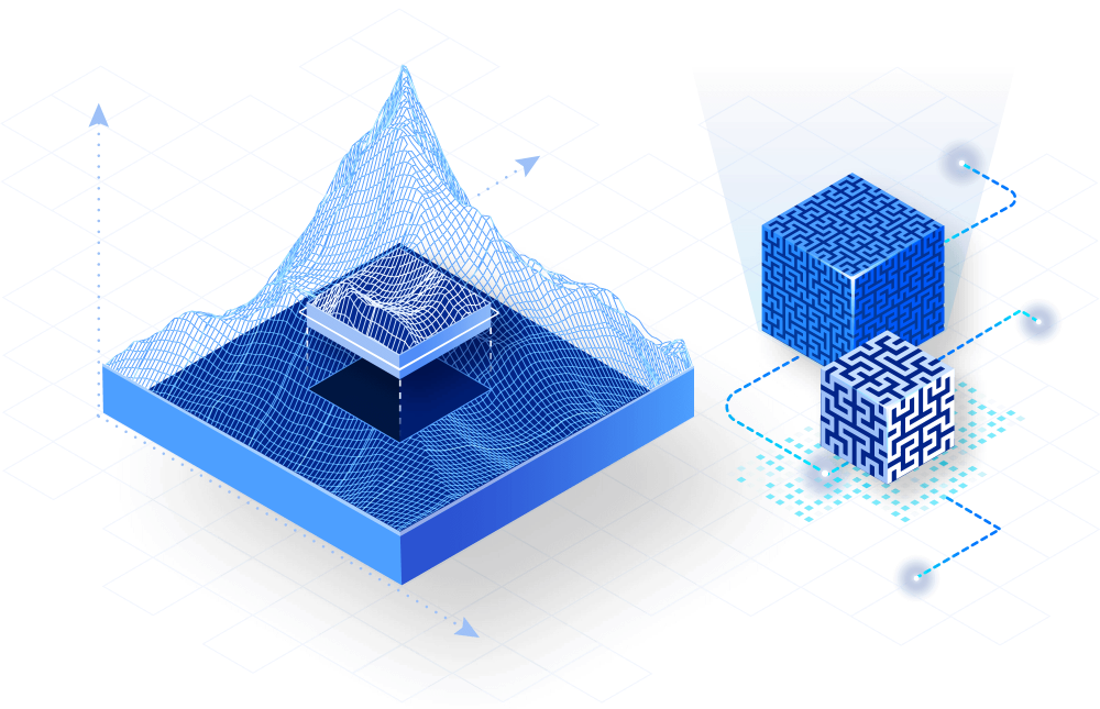
Optimize point clouds for analysis
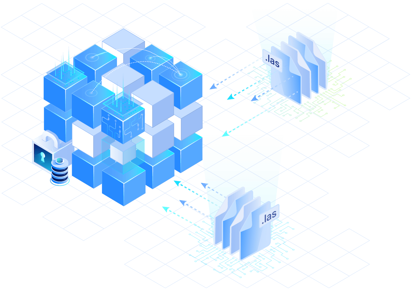
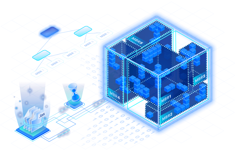
No more files. Use TileDB to combine thousands of LAS files into one 3D array, even if it’s larger than memory. Manage data in a cloud-native format, and easily time-travel on every point stored.
Ingest massive datasets in parallel
Avoid expensive ingestion tasks for joining datasets. Quickly ingest in bulk with parallel, lock-free TileDB write support. Then use serverless functions to parallelize compute over a specific area of interest (AOI).
Explore and share
Automatically catalog assets and easily share them. Make data and code instantly discoverable through TileDB Cloud search, and quickly collaborate with secure permissions management and sharing options on all of your assets.
Slice rapidly
Slice arrays using native coordinates across multiple dimensions. TileDB operates directly on cloud object storage, scaling gracefully to many TBs of data with a small memory footprint.
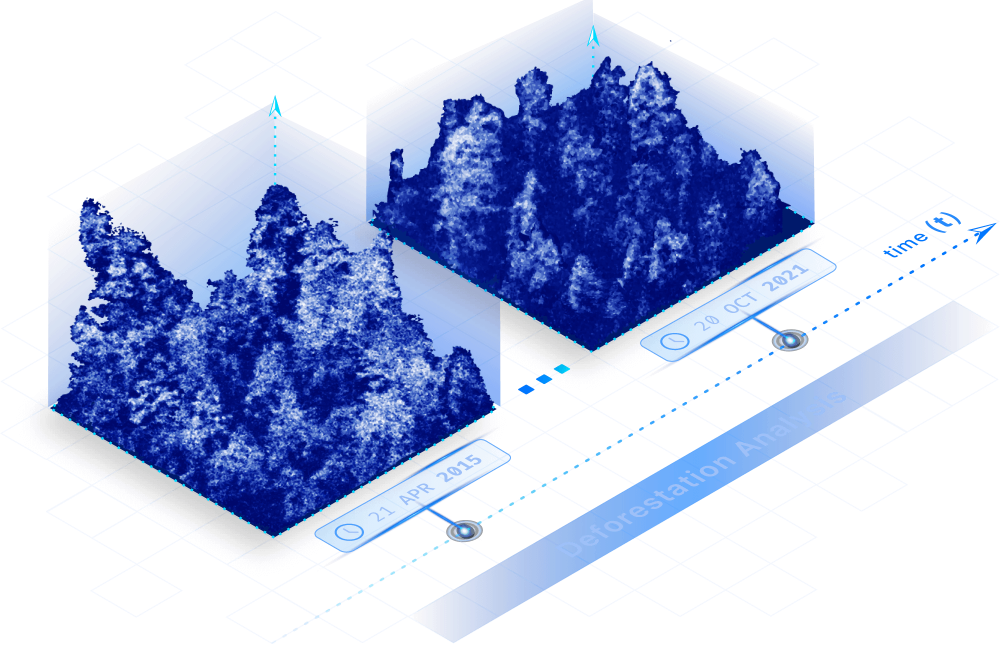
Enjoy time-series support
Take advantage of built-in support for point cloud time-series analysis. Index data using precise real numbers and datetime objects.
Enable interoperability end-to-end
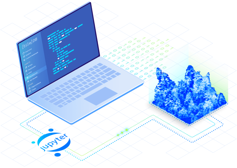
Scale way beyond the capabilities of PostGIS. TileDB integrates with existing tools at every stage of your research — from PDAL and QGIS to R & Python Jupyter notebooks and leading 3D visualization tools.
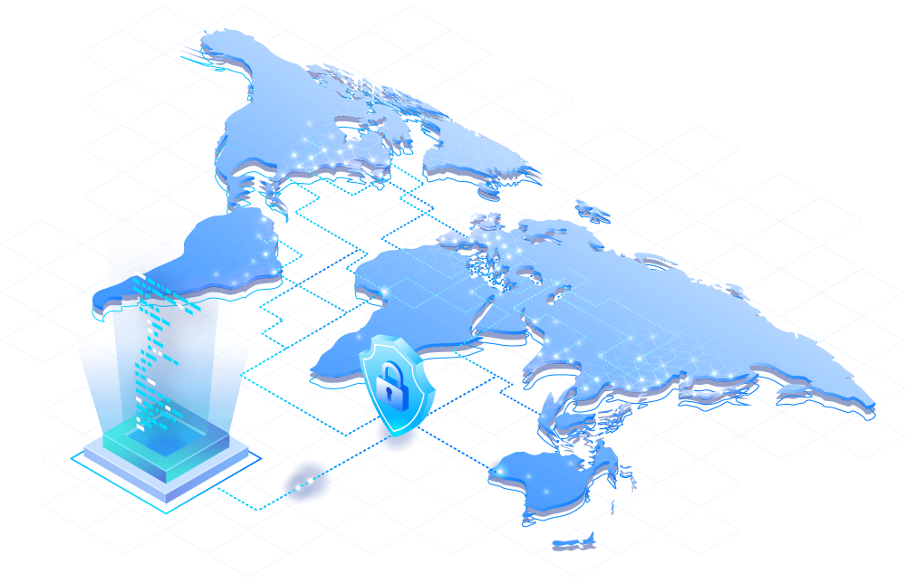
Govern data and code
Easily define access policies on your data and code, so you can scale collaboration within your organization or across the world. Data governance controls also provide the option to monetize derived products at no extra cost.

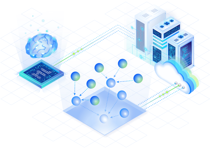
Train ML models and scale serverlessly
Centrally manage ML models with plugins for PyTorch, TensorFlow and other ML frameworks. Quickly scale operations, like object detection, using serverless task graphs, no clusters required.

Share interactive LiDAR visualizations
Take 3D visualizations from your notebooks and expose them directly to the web as interactive dashboards using Babylon.js and other libraries. TileDB Cloud comes with a built-in 3D point cloud tile server that conforms with OGC interoperability specifications.
Secret Sauce
Arrays

EMBEDDED
The open-source TileDB sparse ND storage engine is ideal for 3D point clouds.
Learn more
Database
CLOUD
Advanced governance and computation of point clouds calls for a next-generation database.
Learn moreResources
Documentation

Have a technical question? Check out our comprehensive documentation and dig into API reference materials for Python, R, and many other languages.
Read the docs
Workshop

Watch the replay! Norman Barker, VP of Geospatial, showed several ways to work with large arrays: from parallel ingest to slicing and colorizing 15 million points at scale.
Watch the videoTutorial

Ready to get started? Jump right in with the TileDB LiDAR Quickstart tutorial on TileDB Cloud using Jupyter notebooks directly through its console.
Go to tutorial

Stay connected
Get product and feature updates.
Loading form...
Your personal data will be processed in accordance with TileDB's Privacy Policy.By subscribing you agree with TileDB, Inc. Terms of use. Your personal data will be processed in accordance with TileDB's Privacy Policy.