Manage, distribute and analyze AIS data at scale
Precise vessel location and time-series analytics.
Disrupting the distribution and analysis of AIS data
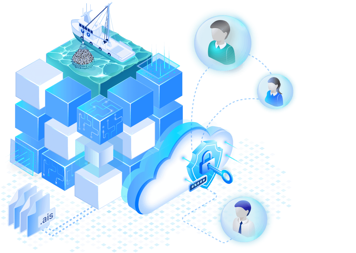
Analysis-ready access
No more distributing multiple copies of proprietary data. Maintain and securely govern one copy of cloud-native, analysis-ready AIS data.
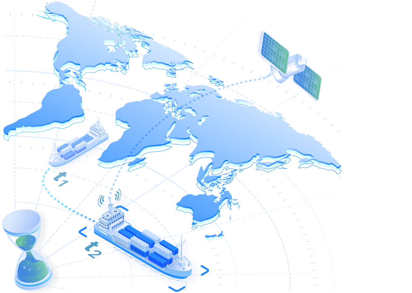
Time series at scale
TileDB Cloud enables precise track analysis of maritime data. Scale beyond TBs with location data at sub-second granularity, directly accessible with versioning and time traveling.
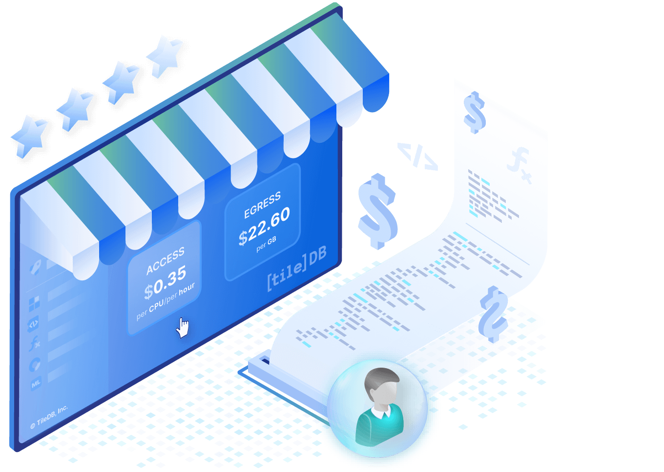
Data products with ease
Monetize data and code without additional infrastructure, creating a sustainable marketplace for data producers and consumers alike.
We reimagined your AIS data workflow with TileDB Cloud
Access analysis-ready AIS data
No more CSV downloads. Use TileDB to access AIS datasets on cloud object storage and query directly using native coordinates. Efficiently scale large computations in the cloud where the data resides.
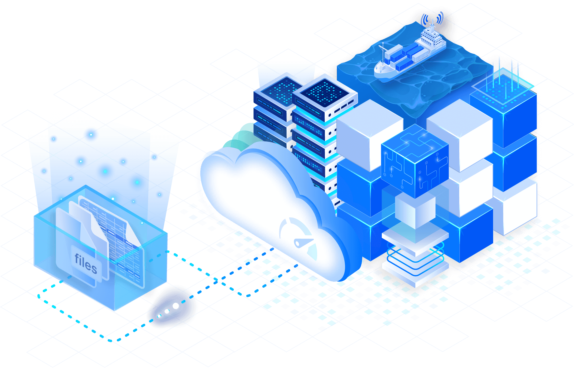
Time-series for maritime analytics
Take advantage of built-in support for AIS time-series data, enabling fast track analysis and density mapping. Index using precise real numbers and datetime objects. Scale analytics to ML-powered dark ship detection, all on a single platform.
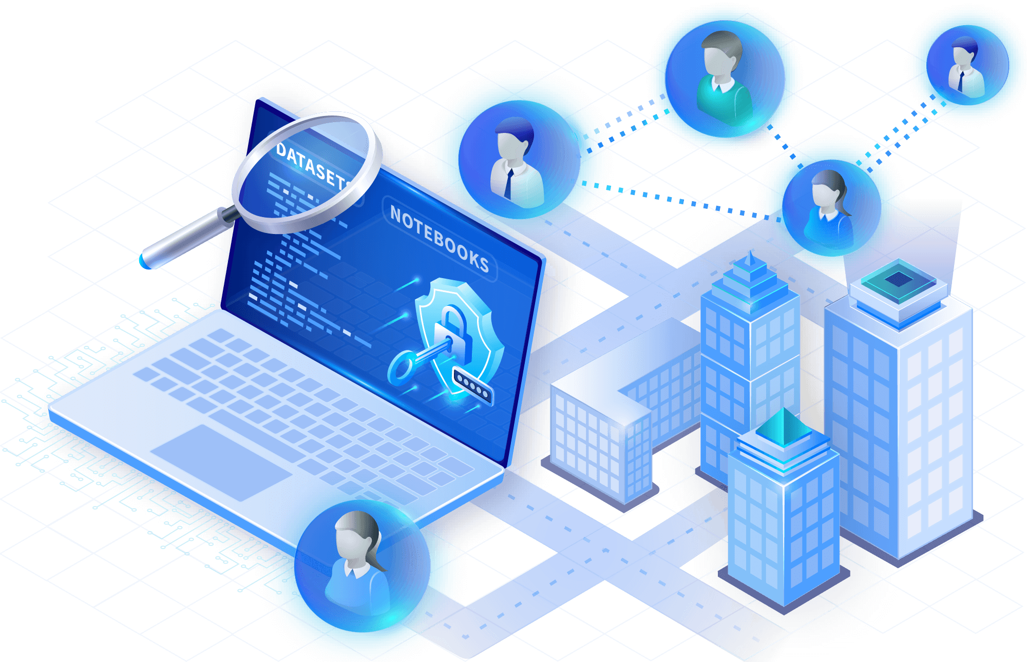
Discover, share & collaborate
Automatically catalog AIS datasets, notebooks, and all associated metadata for advanced discoverability and governance. Version your work, including notebooks and ML models. Securely share with operations teams, supply chain analysts and government authorities.
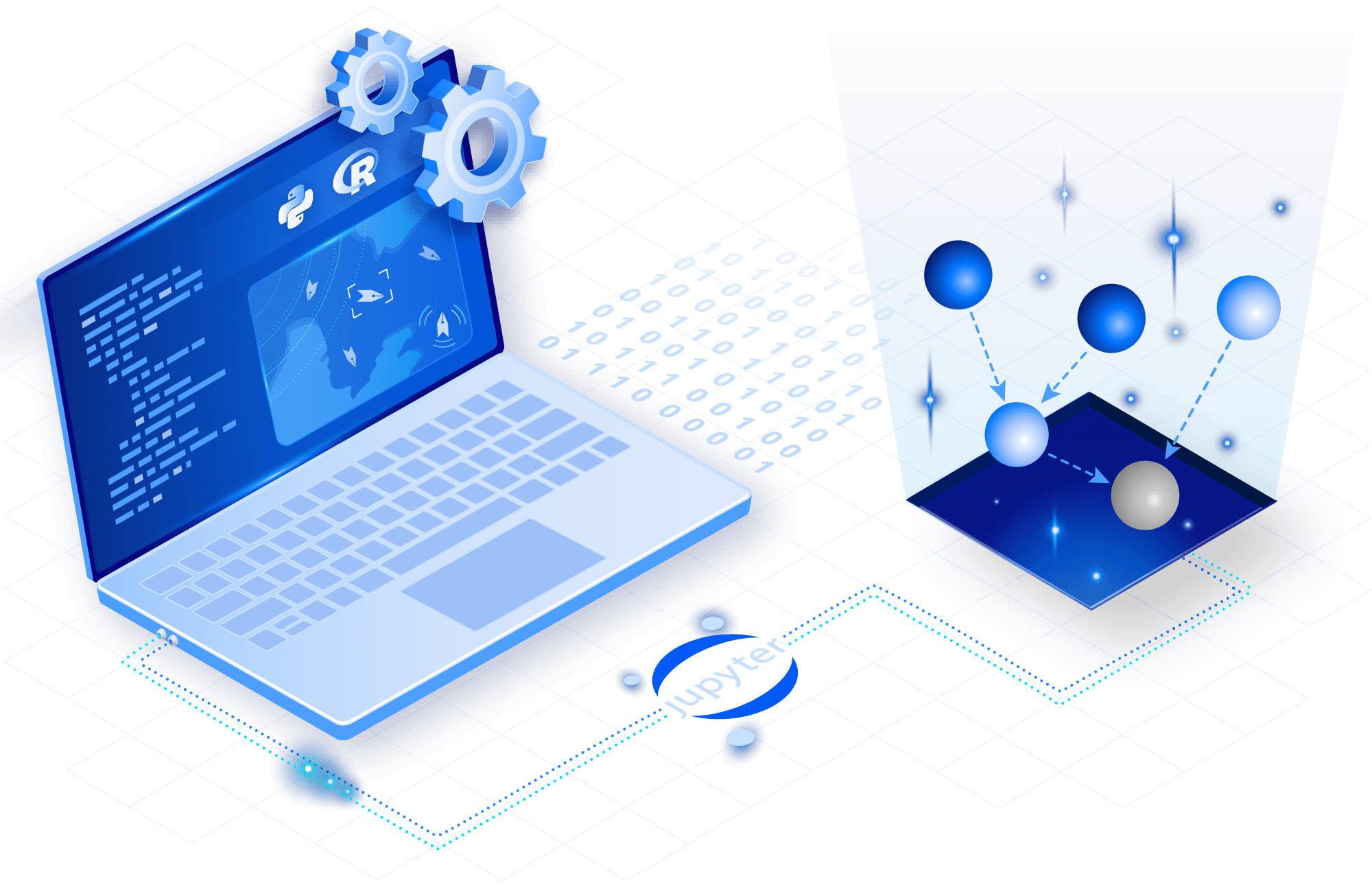
Enable interoperability end-to-end
Scale way beyond the capabilities of other databases, like Postgres and GeoMesa. TileDB integrates with existing workflows at every stage of your research — from SQL to R & Python Jupyter notebooks.
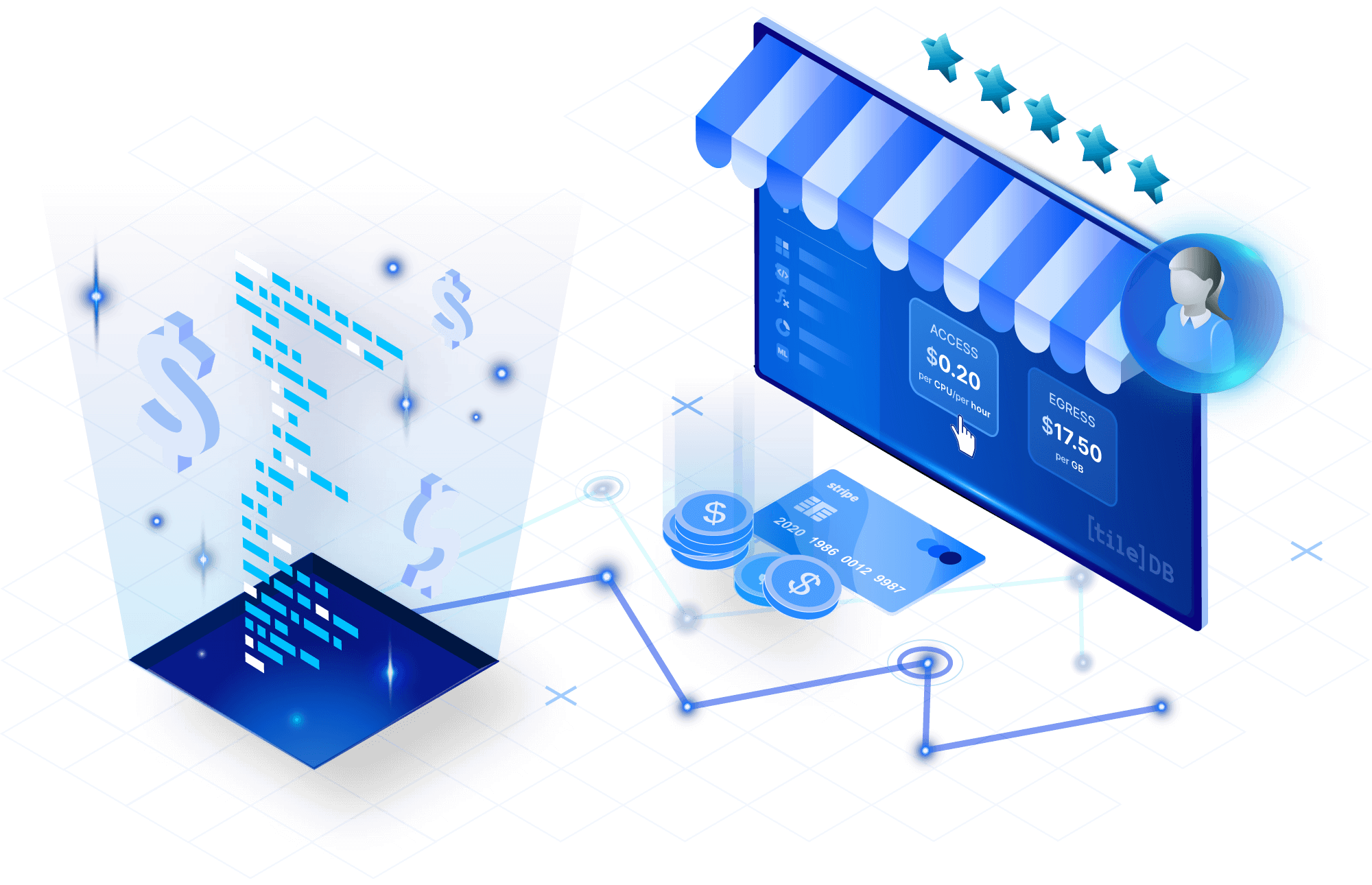
Launch your marketplace
Sell your data with no additional infrastructure or cost. Built-in marketplace features allow you to develop derived data products and monetize them in a new economic model that accommodates data producers and consumers alike.
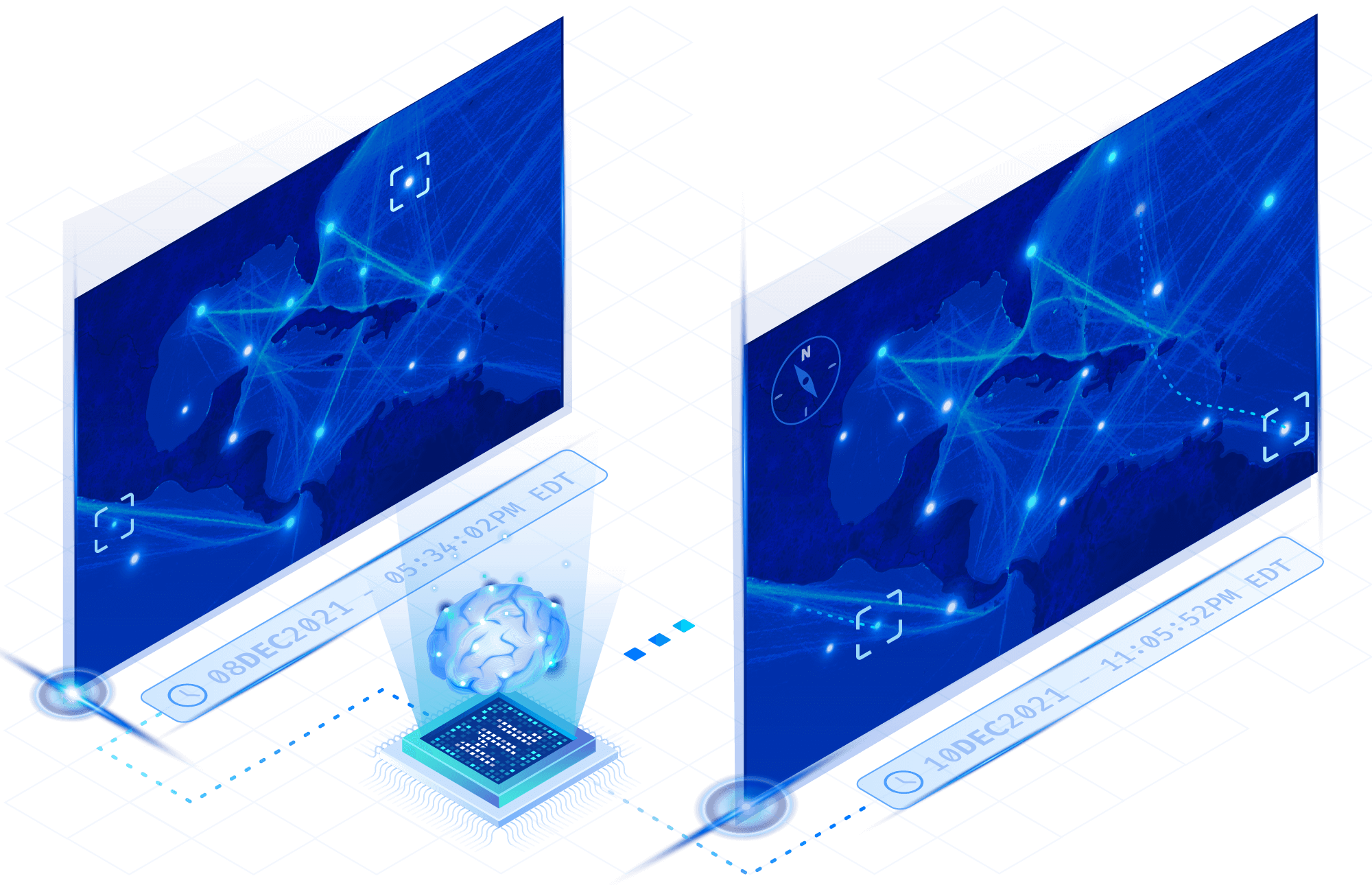
Visualize with ease
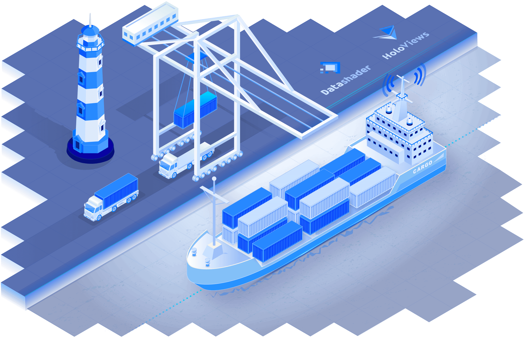
Gain the flexibility you need to power your analysis. TileDB Cloud comes with dashboards and notebooks that can be easily customized to use specialized packages for running unique visualizations using Datashader, HoloViews, and your own custom packages.
Fuse massive datasets
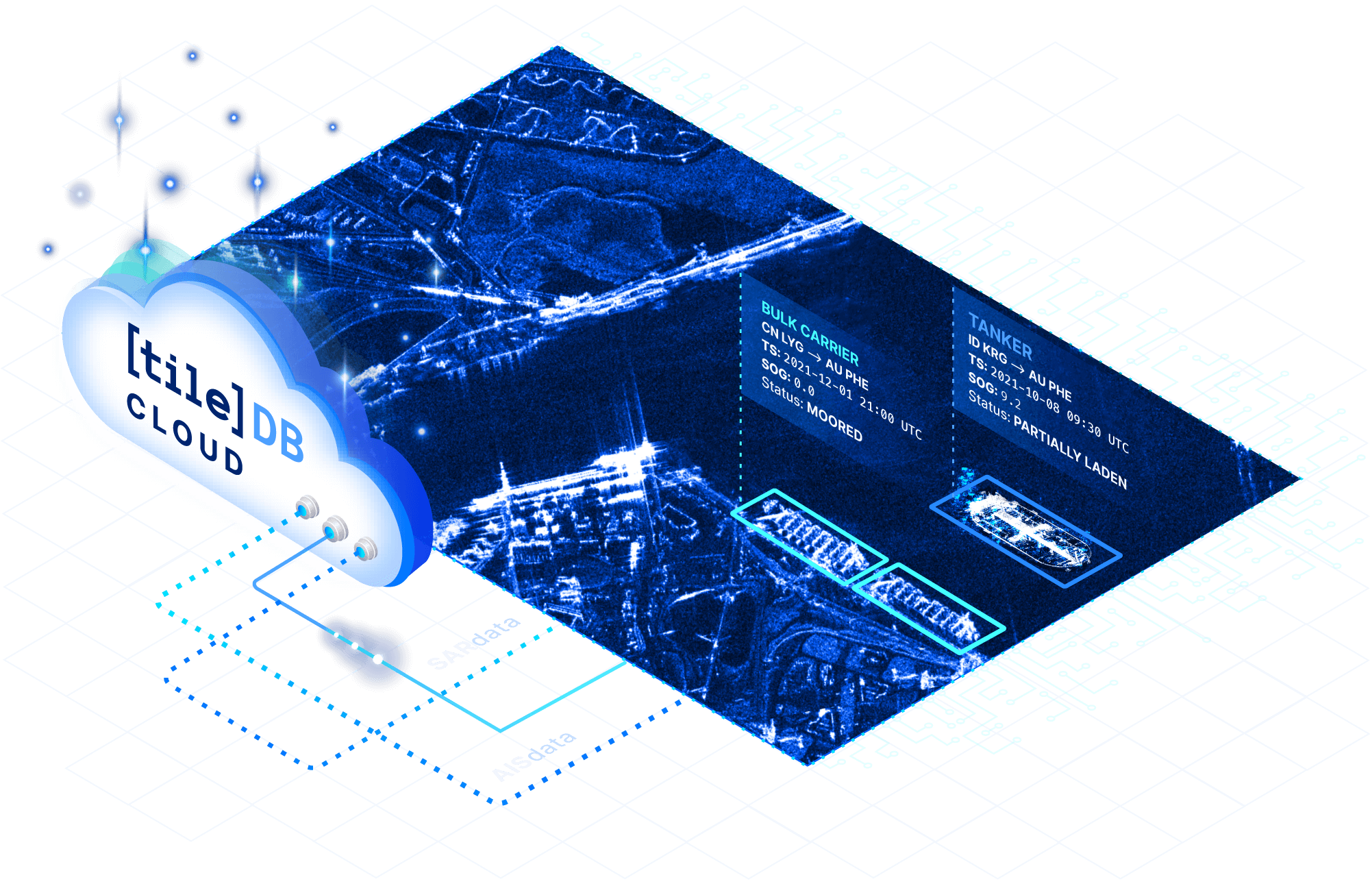
Avoid complex pipelines when combining AIS with other data types like SAR and VIIRS. Join all data types in a single data platform based on multi-dimensional arrays. Query across multiple index ranges for flexible analysis and visualization.
Secret Sauce
Resources
Documentation
Have a technical question? Check out our documentation, dig into our support for various geospatial libraries and reference materials for Python, and many other languages.
Read the docsVideo
Watch the replay! In "Dark Ship Detection, No Doubt: Fusing AIS, VIIRS and SAR via TileDB & ExactEarth" Dr. Vicky Liau, Senior Software Engineer at TileDB, presented her analysis, combining analysis-ready data on TileDB Cloud.
Watch the videoTutorials
Already purchased exactEarth data? Access the demo notebooks on TileDB Cloud. Just launch a geospatial notebook and, once in the Jupyter Lab environment, use the file browser to access /examples/geo/exactEarth to get started.
Log into TileDB CloudStay connected
Get product and feature updates.
Loading form...
Your personal data will be processed in accordance with TileDB's Privacy Policy.By subscribing you agree with TileDB, Inc. Terms of use. Your personal data will be processed in accordance with TileDB's Privacy Policy.